
If you’ve driven the Southern State Parkway more times than you can count, you might think you know it pretty well. But beneath those low stone bridges and tight curves is nearly a century of Long Island history, political drama, and design decisions that still shape your commute today.
We dug into the archives and found plenty of facts that make this parkway one of the most fascinating roads on Long Island.
The Origins and Original Vision of the Southern State Parkway
-
The Southern State Parkway was designed by Robert Moses and construction began in 1925.
-
When work was completed in 1949, the parkway originally ended at Bay Shore Road.
-
In 1962, it was extended east to its current terminus at the exits to the Sagtikos and Heckscher parkways.
-
The parkway was originally maintained by the Long Island State Park Commission, where Moses served as commissioner.
A Parkway Meant to Be a Park
-
According to nycroads.com, the Long Island Parkway System was envisioned as a series of “great ribbon parks” connecting major state parks like Jones Beach, Bethpage, and Sunken Meadow.
-
The parkway system shared design elements with the parks themselves, including stone-faced arched bridges, turf shoulders, bracketed-arm wooden light posts, post-and-rail fences, and guide rails.
-
Those distinctive wooden lampposts are still remembered fondly by many drivers as the “woody” lights.
Land, Water, and Brooklyn’s Forgotten Claim
-
Moses used an undeveloped tract of land owned by the borough of Brooklyn to build the roadway.
-
Brooklyn once imported drinking water from wells on Long Island but abandoned the right-of-way after merging into New York City in the late 1800s.
-
According to nycroads.com, that former right-of-way was later used for the proposed Southern State Parkway.
Early Design Quirks of the Southern State Parkway
-
The original Southern State Parkway was an undivided, four-lane road measuring just 42 feet wide.
-
A state police substation and barracks were built on either side of the parkway in North Valley Stream.
-
A medium-sized service station was constructed in the 1930s east of Exit 32 (Route 110).
-
Although the service station closed in 1985, abandoned ramps in the median still mark where it once stood.
Toll Booths, Politics, and Payback
-
Toll booths were originally located between Exits 13 and 14.
-
After the New York State Department of Transportation took over maintenance in 1978, the toll booths were removed.
-
One report noted the closure followed a 20-year battle and came three years after a toll hike from 10 cents to 25 cents that angered parkway users.
-
Signs credited Democratic Governor Hugh Carey for removing the tolls, which infuriated Long Island Republicans who had lobbied for their removal.
Bridges, Buses, and a Famous Biography
-
The parkway was built in a meandering style intended for low-speed travel through parkland.
-
Stone overpasses were deliberately built with low clearances to keep commercial traffic off the road.
-
In The Power Broker, author Robert A. Caro writes that Moses ordered the bridges built low to prevent buses from bringing city residents to Jones Beach.
-
Some historians note this story may be apocryphal and not entirely true.
Changes Over Time
-
When first constructed, the parkway looped around Hempstead Lake between Exits 18 and 19.
-
An earthen mound was later added so the roadway could cross directly over the lake.
-
Before NYSDOT took over, new lighting and signage featured white lettering on brown backgrounds in the style of the LISPC.
-
Those signs were replaced in the late 1980s.
-
Following post–World War II suburban expansion, portions of the Southern State Parkway were widened and straightened to handle higher speeds and heavier traffic.
The Parkway Today
-
The Southern State Parkway is 25.53 miles long.
-
A stretch between Exits 17 and 32 has earned the grim nickname “blood alley” due to a high number of fatal accidents.
-
According to Newsday, 2012 data showed 1.1 fatal collisions per mile along the 25.5-mile parkway, compared to just 0.21 per mile on the Northern State Parkway.
One Last Irony
-
Despite shaping Long Island’s roadways more than anyone else, Robert Moses never learned to drive.
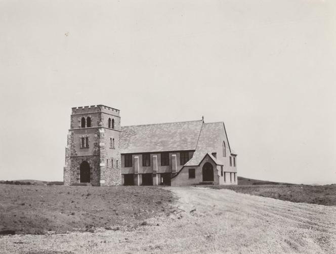
Photo: Copyright holder unknown. June 1954. Long Island Daily Press.